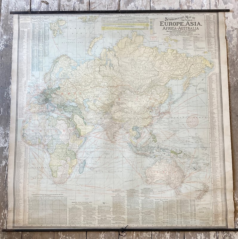
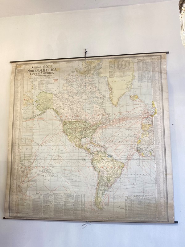
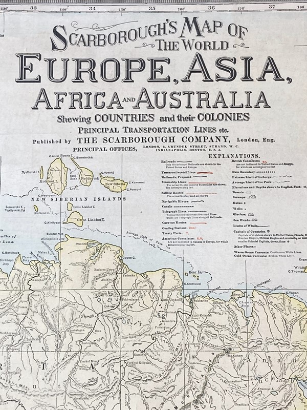
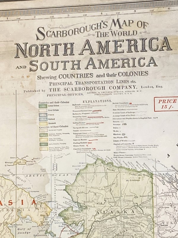
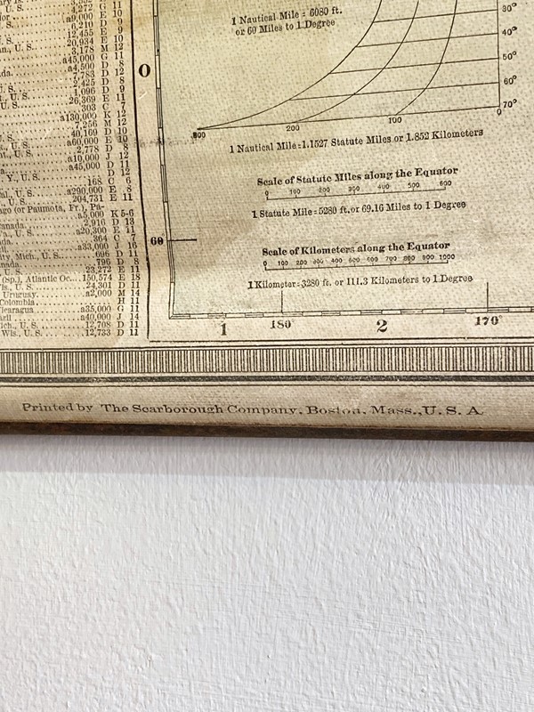
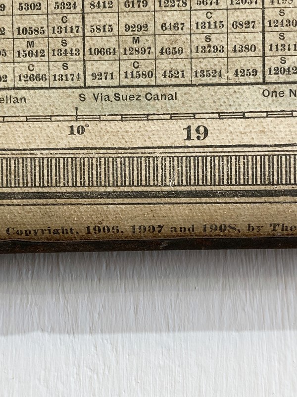
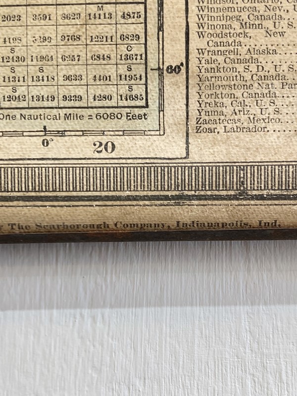
Antique 1908 Double Sided World Map
Stock No
BE2111
2016
- £150.00
- €181 Euro
- $188 US Dollar
Questions about this item?
Like this item?
Item Description
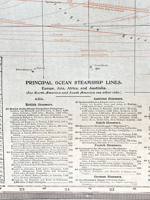
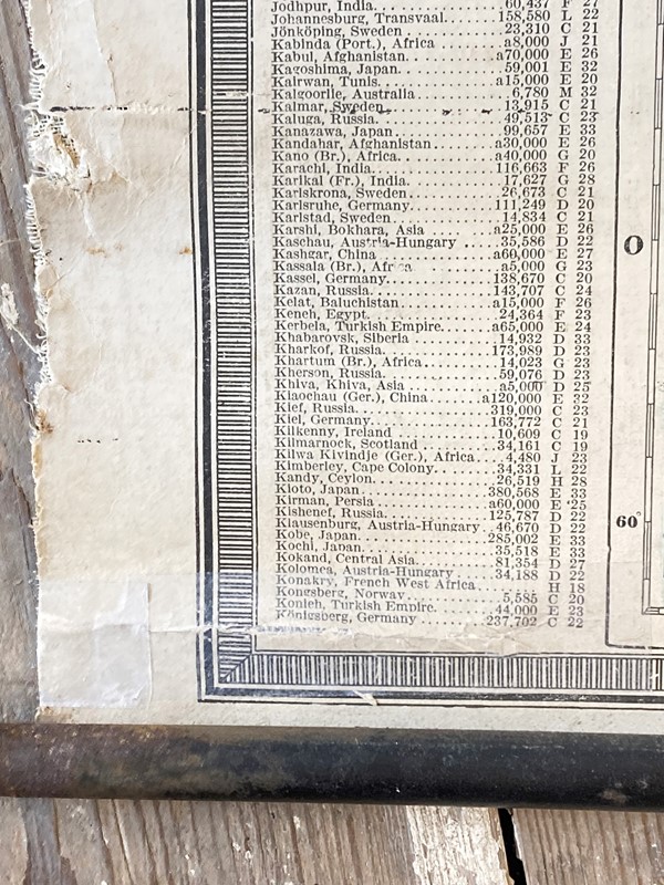
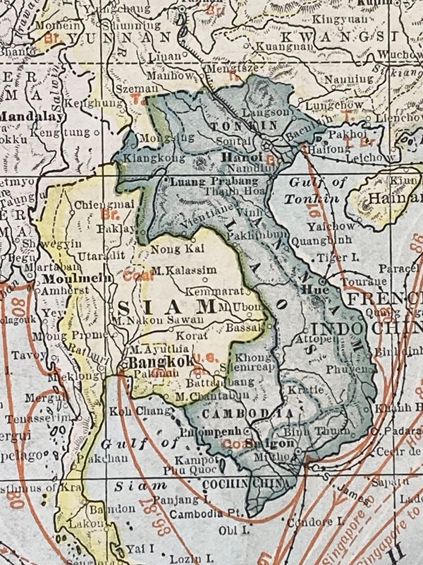
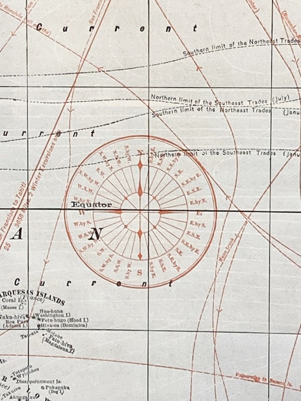
A fabulous antique double-sided world map with Europe, Asia, Africa & Australia on one side and North & South America on the other. Printed in Indianapolis in 1908 showing international shipping routes, consulate locations, steamship routes, proposed railway links etc, this would have been hung up in an office of an American merchant and used for planning international imports & exports at such an exciting time in history! Endlessly fascinating, educational and utterly stylish! A really fabulous piece of history. One small taped repair as shown in the pictures, otherwise in remarkable condition. H - 103cm; W (including rods) 106cm
Item Info
Seller
Seller Location
Surrey, Surrey
Item Dimensions
H: 103cm W: 106cm
Period
1908
Item Location
United Kingdom
Seller Location
Surrey, Surrey
Item Location
United Kingdom
Seller Contact No
+44 (0)20 8941 9269
+44 (0)793 1785308
More from BELLE EPOQUE


